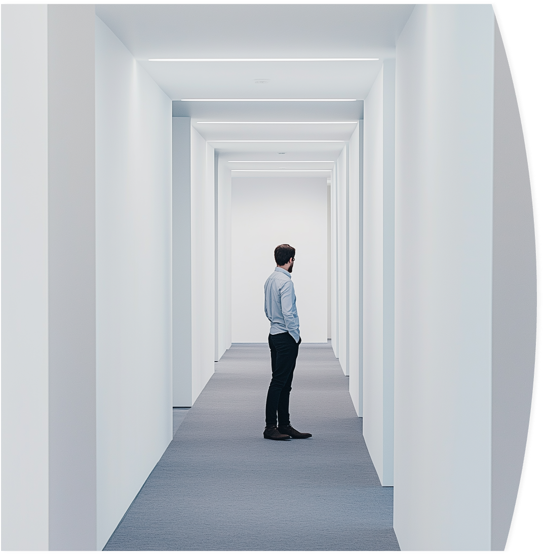
Why do we still get lost indoors?
GPS doesn't work inside
Satellite signals cannot penetrate building structures.
Current solutions are expensive
Bluetooth beacons and WiFi positioning require thousands of euros in hardware investment and ongoing maintenance.
INNABE: Navigation through the camera's eyes
No hardware installation:
Uses existing building features instead of beacons.
Mapping by walking:
Space "learning" happens simply by recording video.
Precise 3D understanding:
Phone knows its position with centimeter accuracy, not just "room-level" precision.
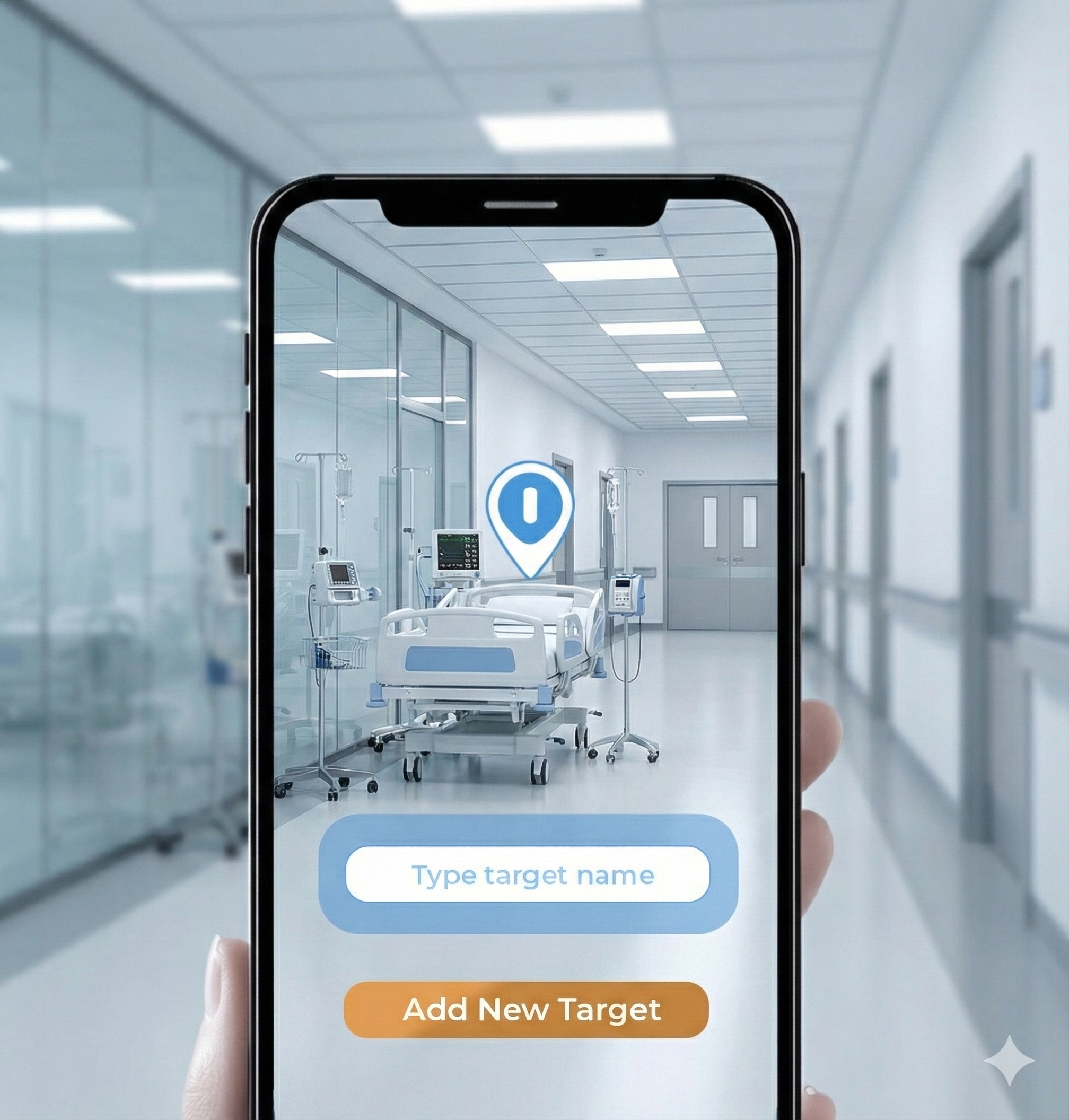
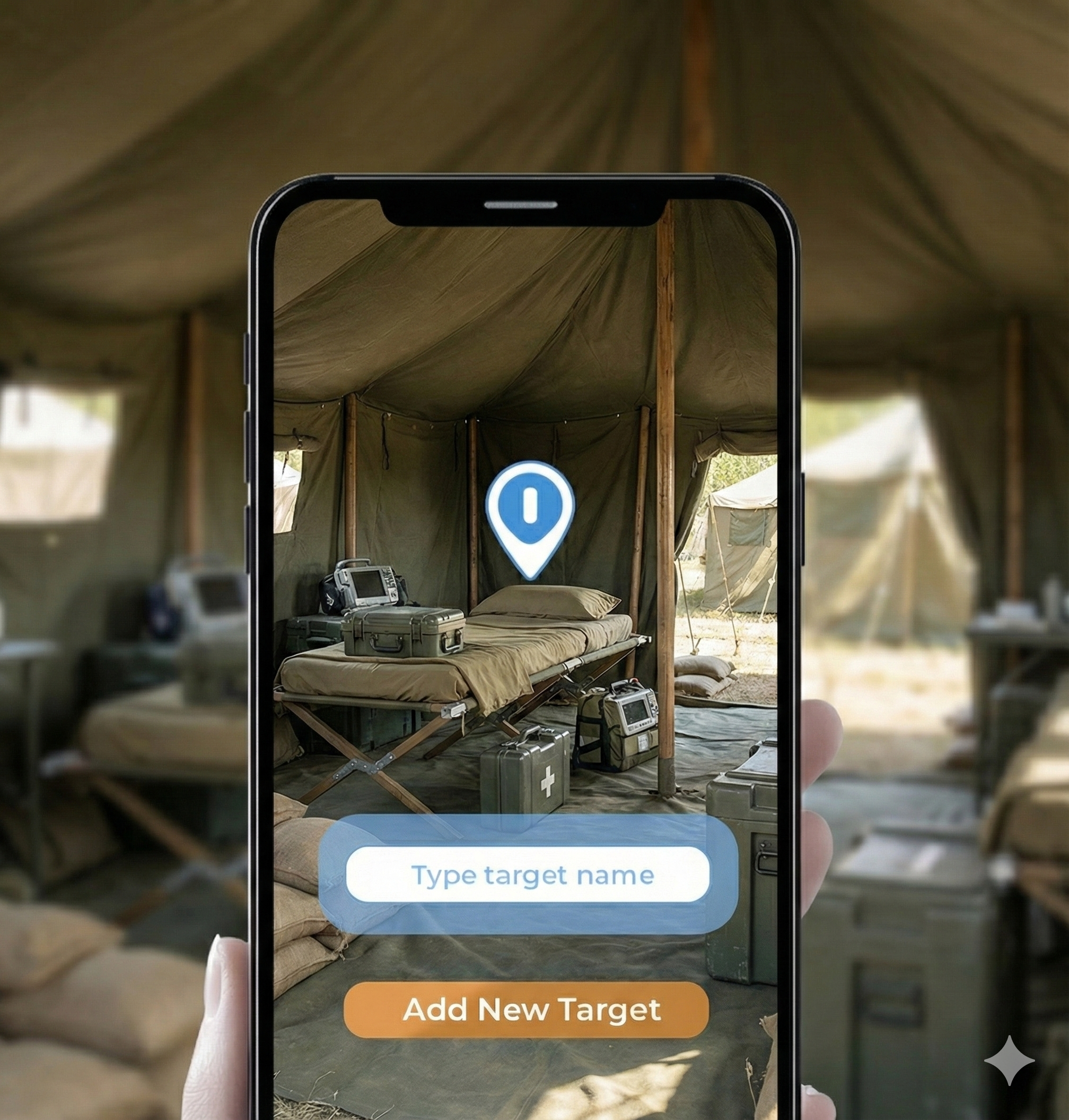
Intuitive AR Guidance
"Follow the arrow":
No complicated 2D maps, just a path drawn into reality.
Voice Control & Conversation:
Ask the app: "Where is the nearest printer?" and it shows the way.
Accessibility:
Precise voice guidance for visually impaired users, thanks to accurate 3D positioning.

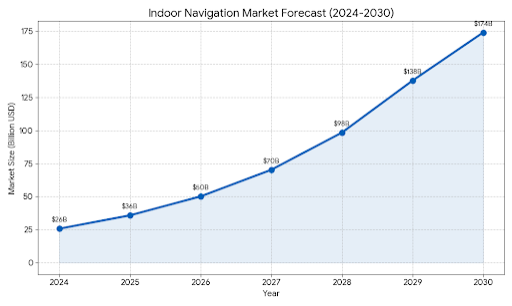
*Indoor Positioning And Indoor Navigation Market Size, Share & Trends Analysis Report*
Scalable solution to a global problem
Cost efficiency:
10x cheaper than hardware-based solutions (Bluetooth/UWB).
Target markets:
Hospitals, universities, airports, shopping centers, large office complexes, and defense industry.
Business model:
SaaS (Software as a Service) - monthly license per square meter or building.
1. Map Creation Pipeline
One-time setup by walking through the space
Walk the space
Move through the building while the app captures visual features using ARKit.
Add POIs
Tap to mark points of interest: rooms, exits, elevators, etc.
Save map
ARWorldMap + metadata stored locally. Ready for navigation.
2. Navigation Pipeline
Find your destination with AR guidance
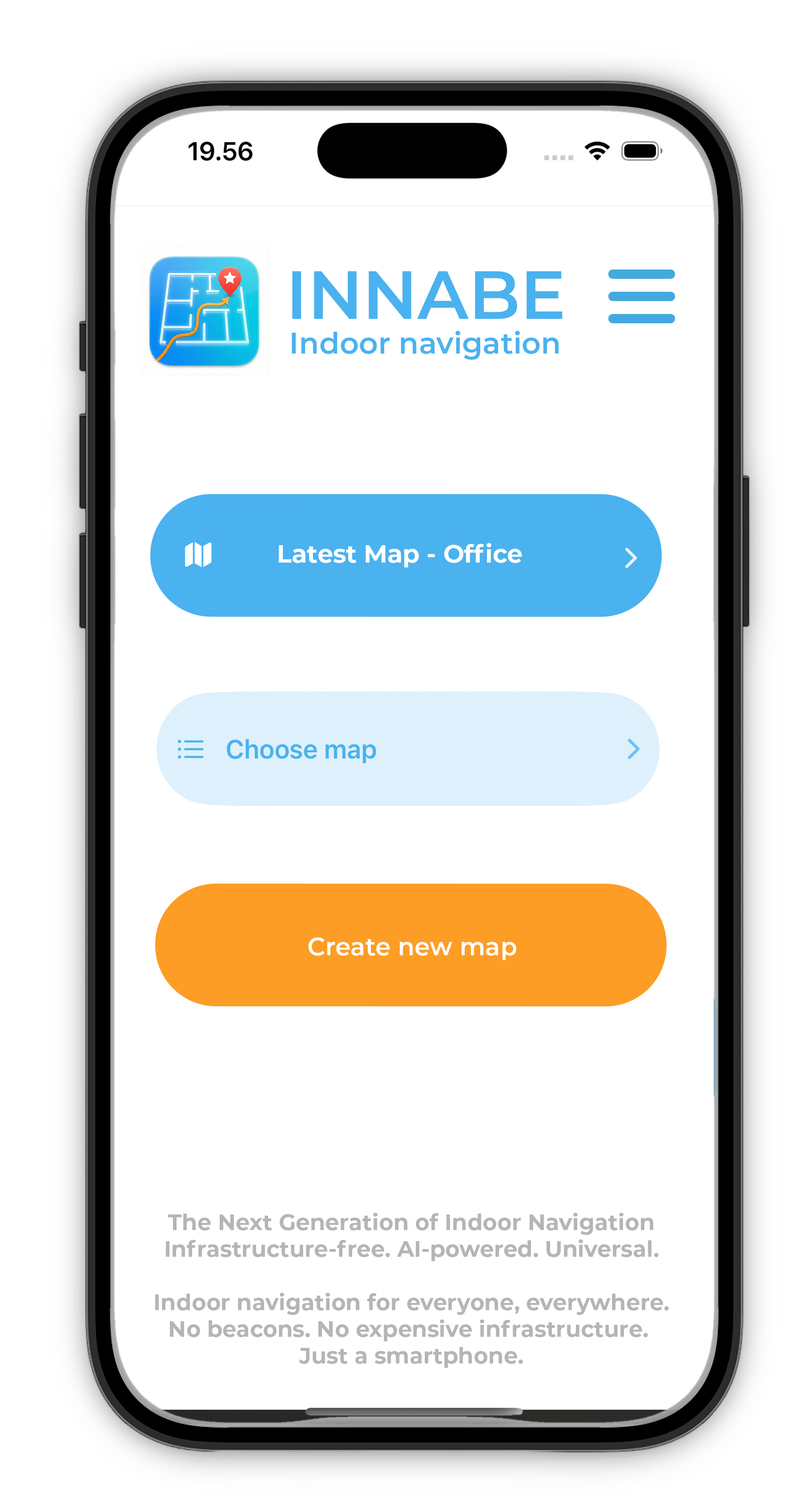
Choose map & target
Select your destination from saved POIs
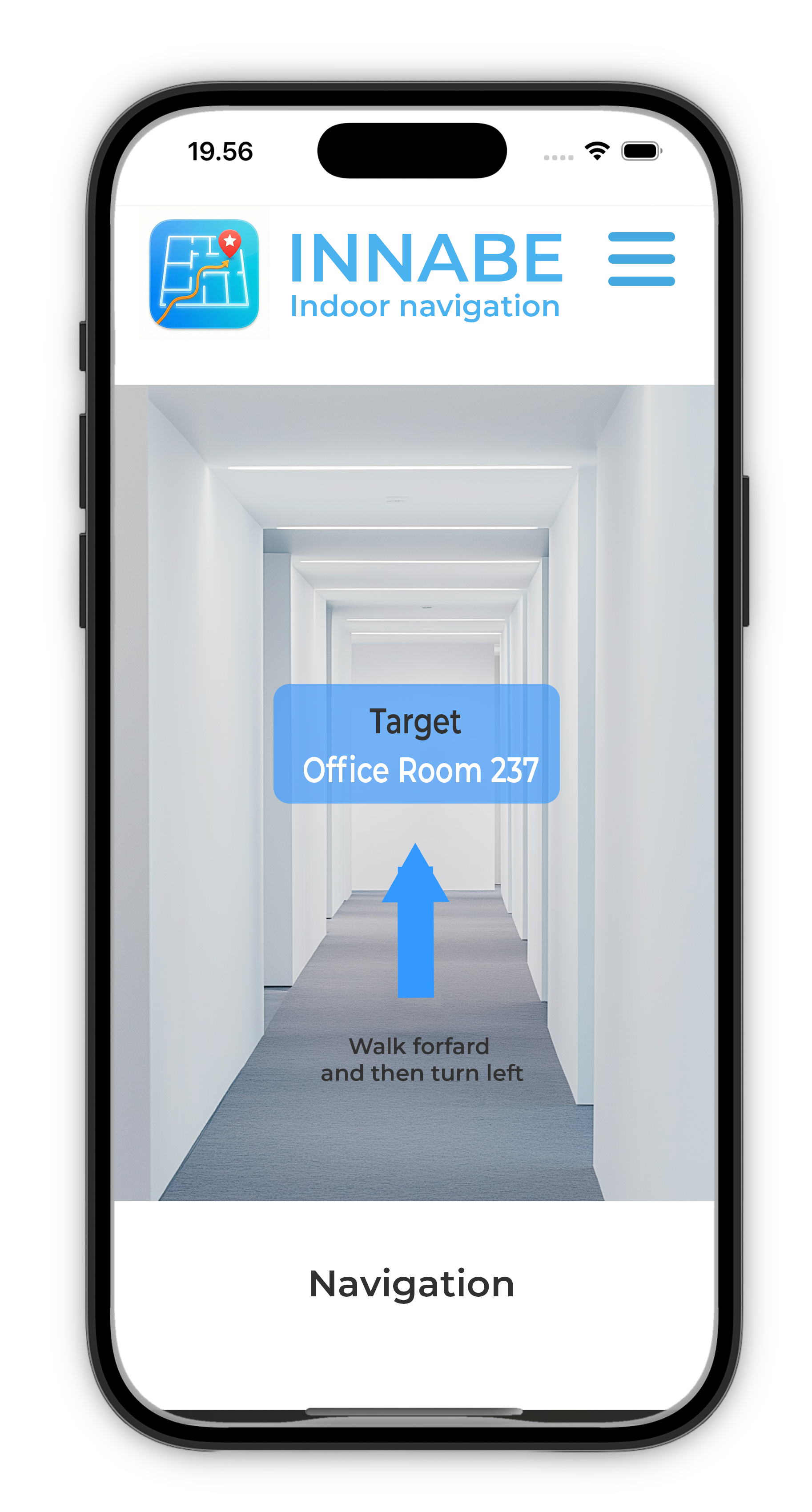
Navigate
Follow the AR arrow through the space
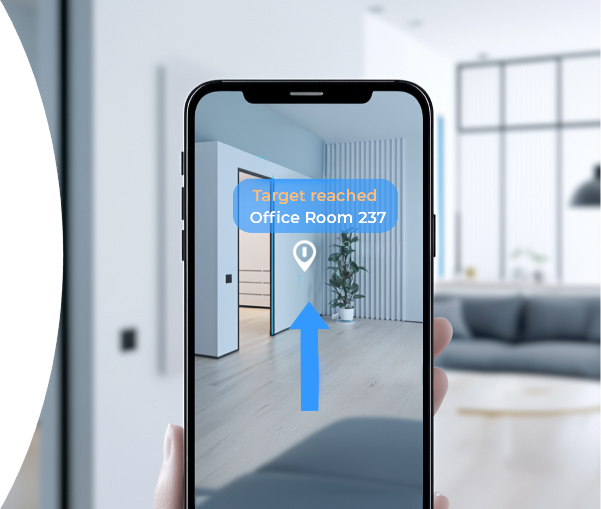
Target reached
Arrival confirmed with visual feedback
(AI identifying 'Emergency Exit', 'Elevator')
Keyframe embeddings for relocalization
Visual-Inertial Odometry + ARWorldMap
Semantic 3D Understanding
ARKit SLAM (Active):
Real-time 6DoF tracking using Apple's Visual-Inertial Odometry. ARWorldMap enables persistent spatial mapping and relocalization.
Visual Place Recognition (v2.0):
Keyframe capture with neural embeddings. Enables "which map am I in?" recognition and faster relocalization.
VLM - Vision Language Models (v2.0):
AI-powered semantic understanding. Automatically identify and label POIs like exits, rooms, and equipment.
INNABE – The Way Forward
Problem solved:
Precise indoor navigation without hardware.
Technology:
Latest AI and 3D methods harnessed for mobile.
Now:
Ready to scale and revolutionize how we move indoors.